Sea loch
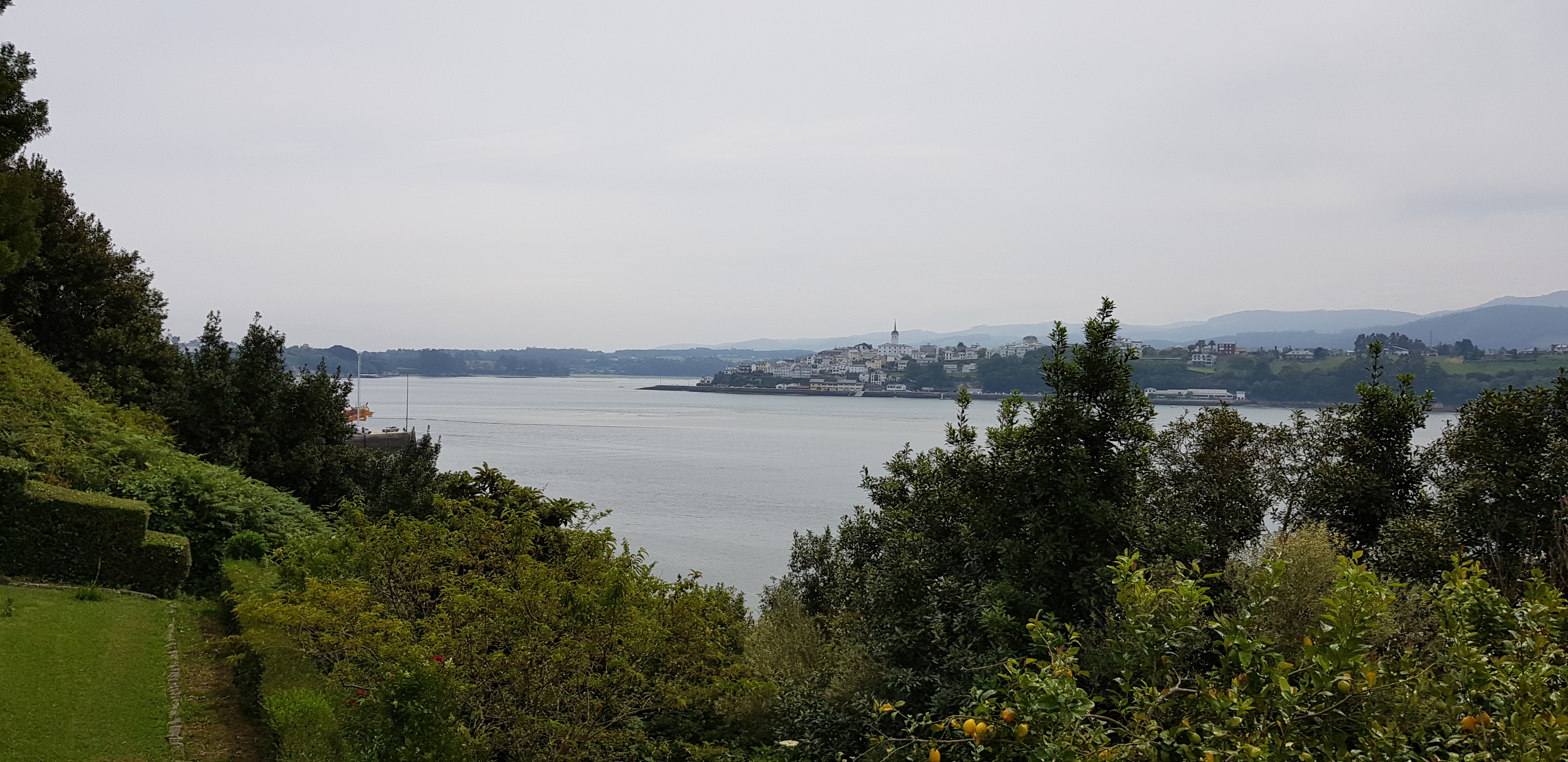
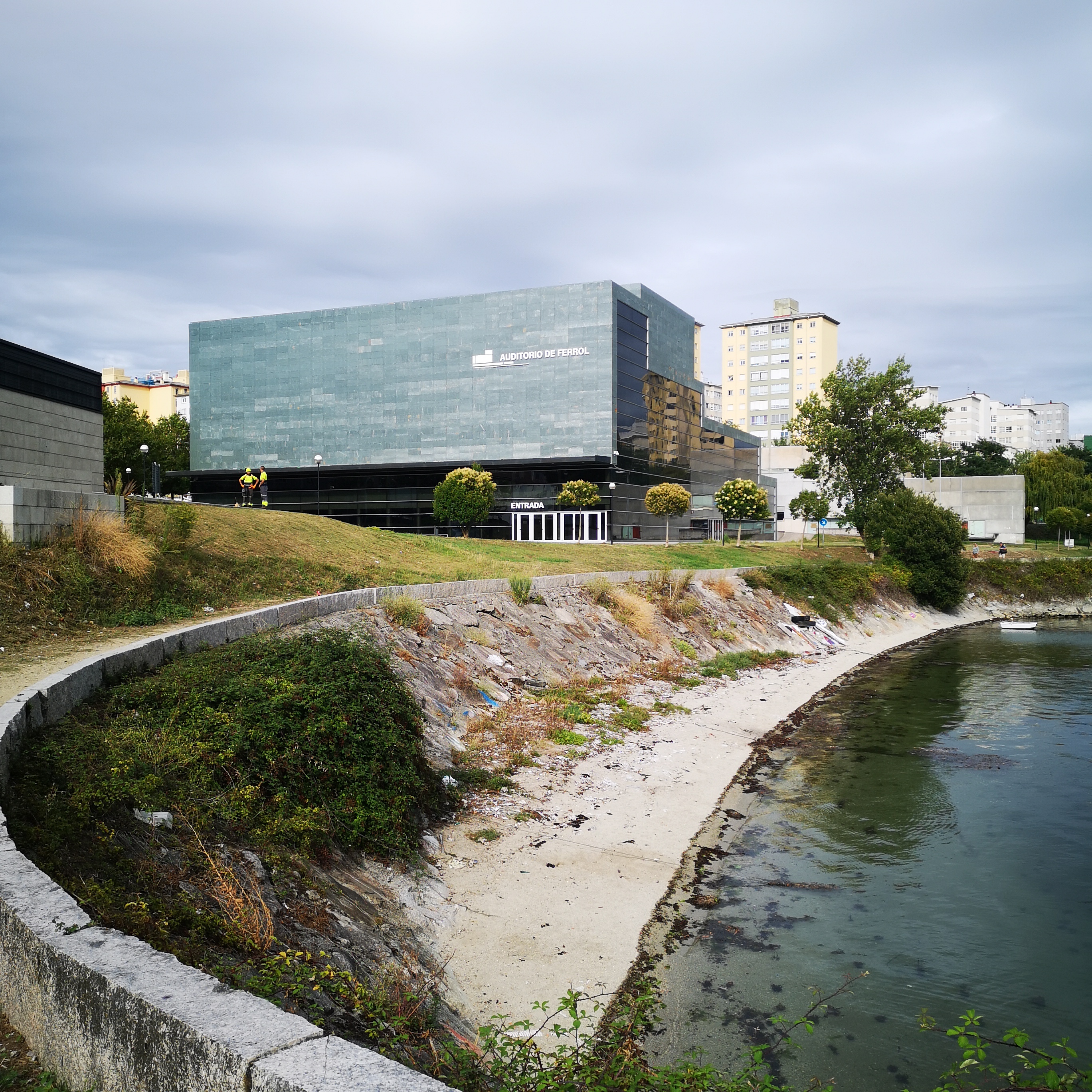
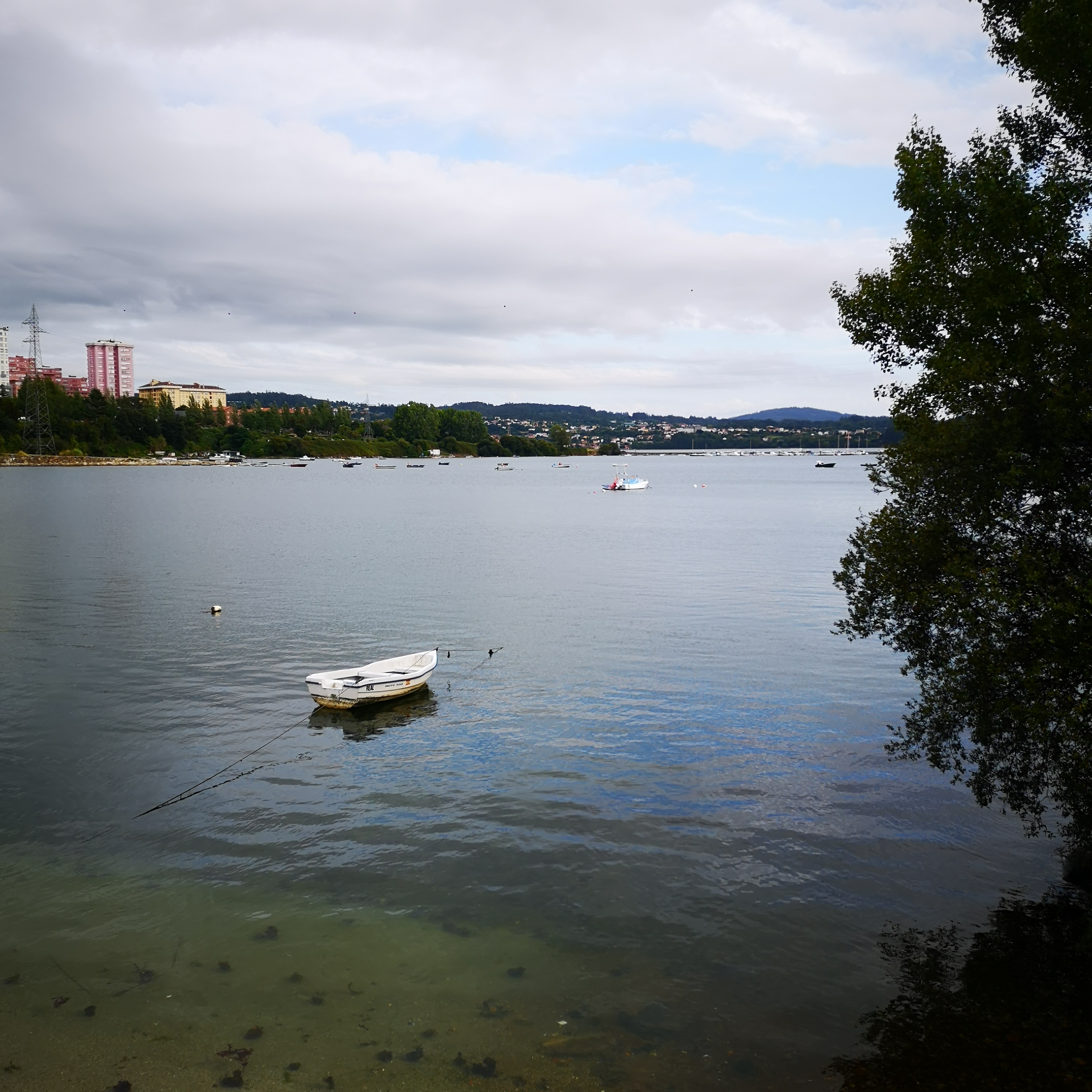
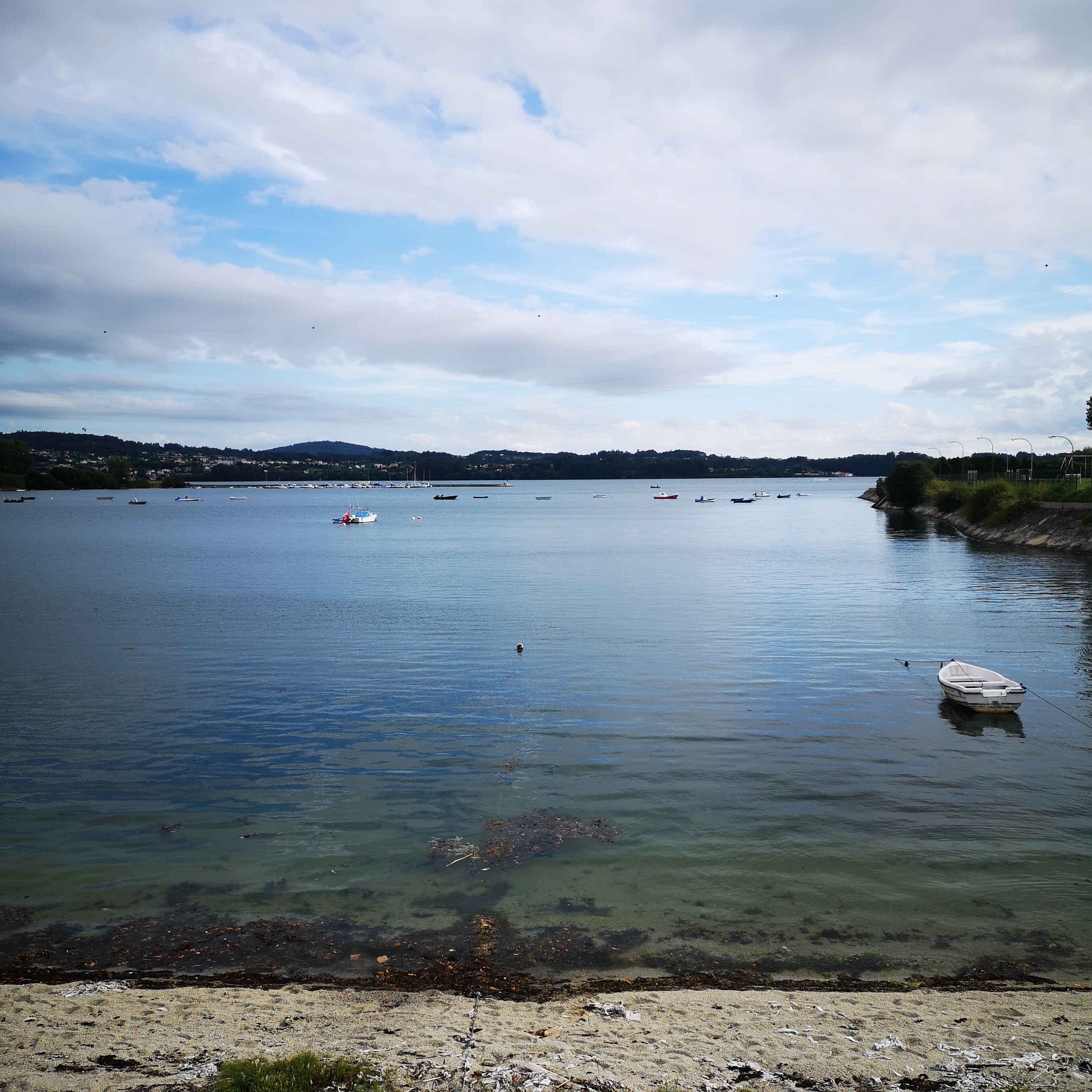
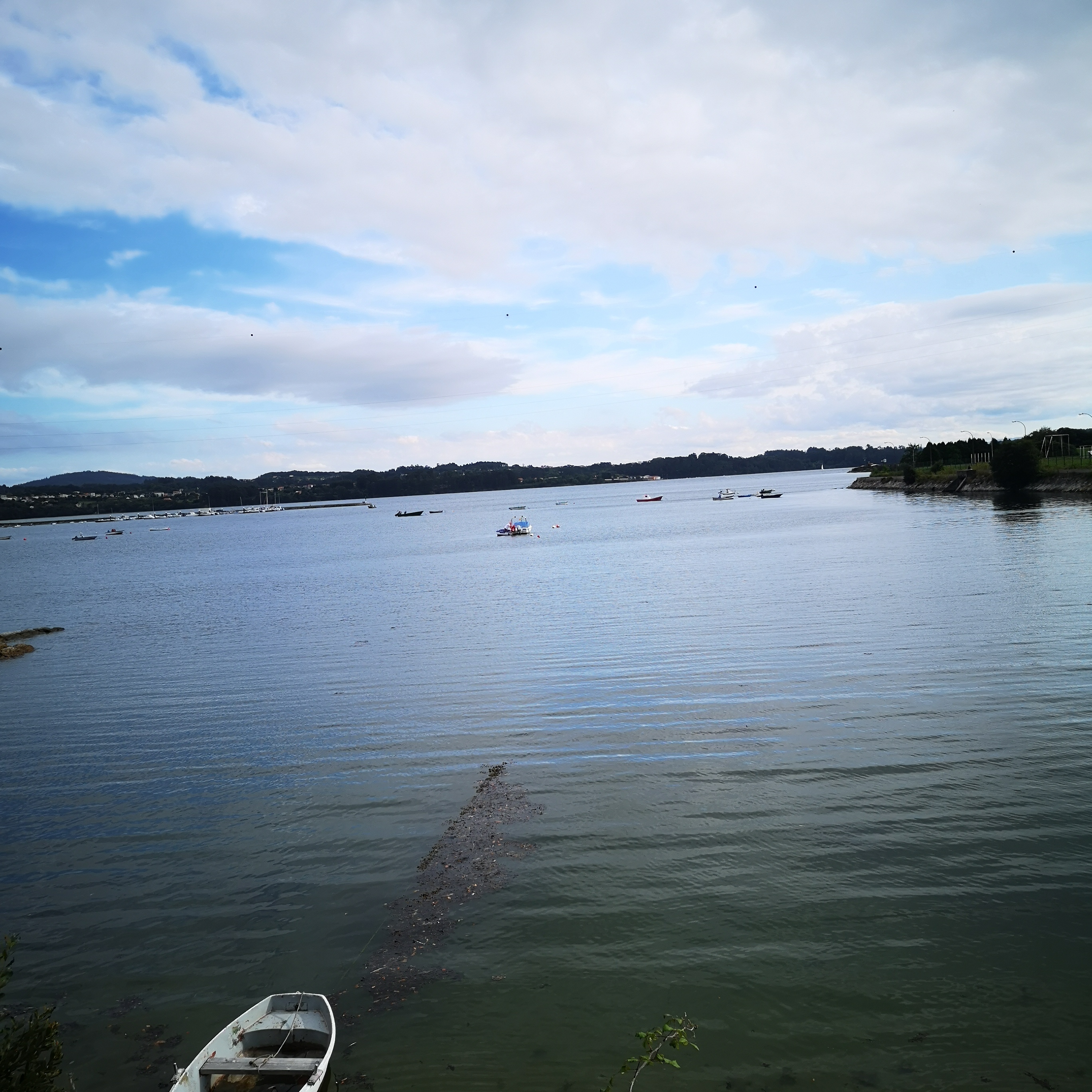
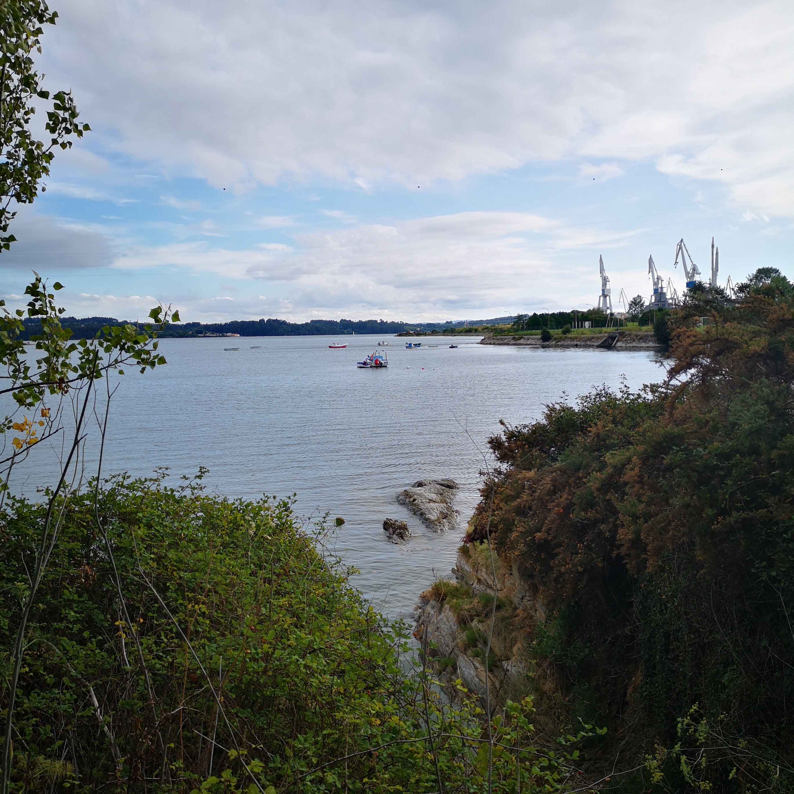
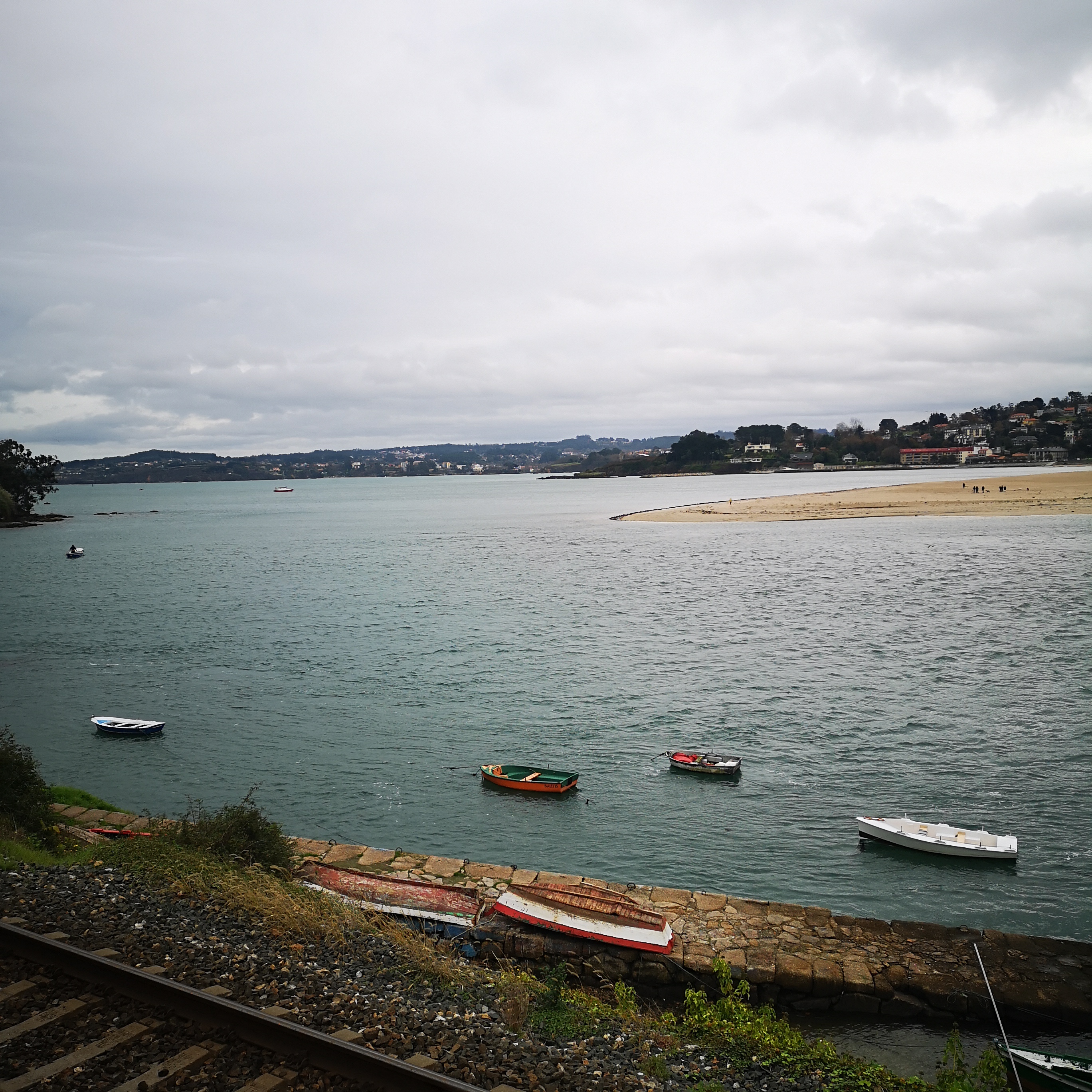
Ría de Ferrol
The Naval Factors installed on the Ferrol, Bazán, they are the biggest of Spain. Gather 8,200 workers and can produce 60,000 T.R.B. each one. Otero, Pedrayo, R,. (1980). Guide of Galicia. Vigo Ed: Galaxy.
Ferrol
Concello, Comarca ou Provincia
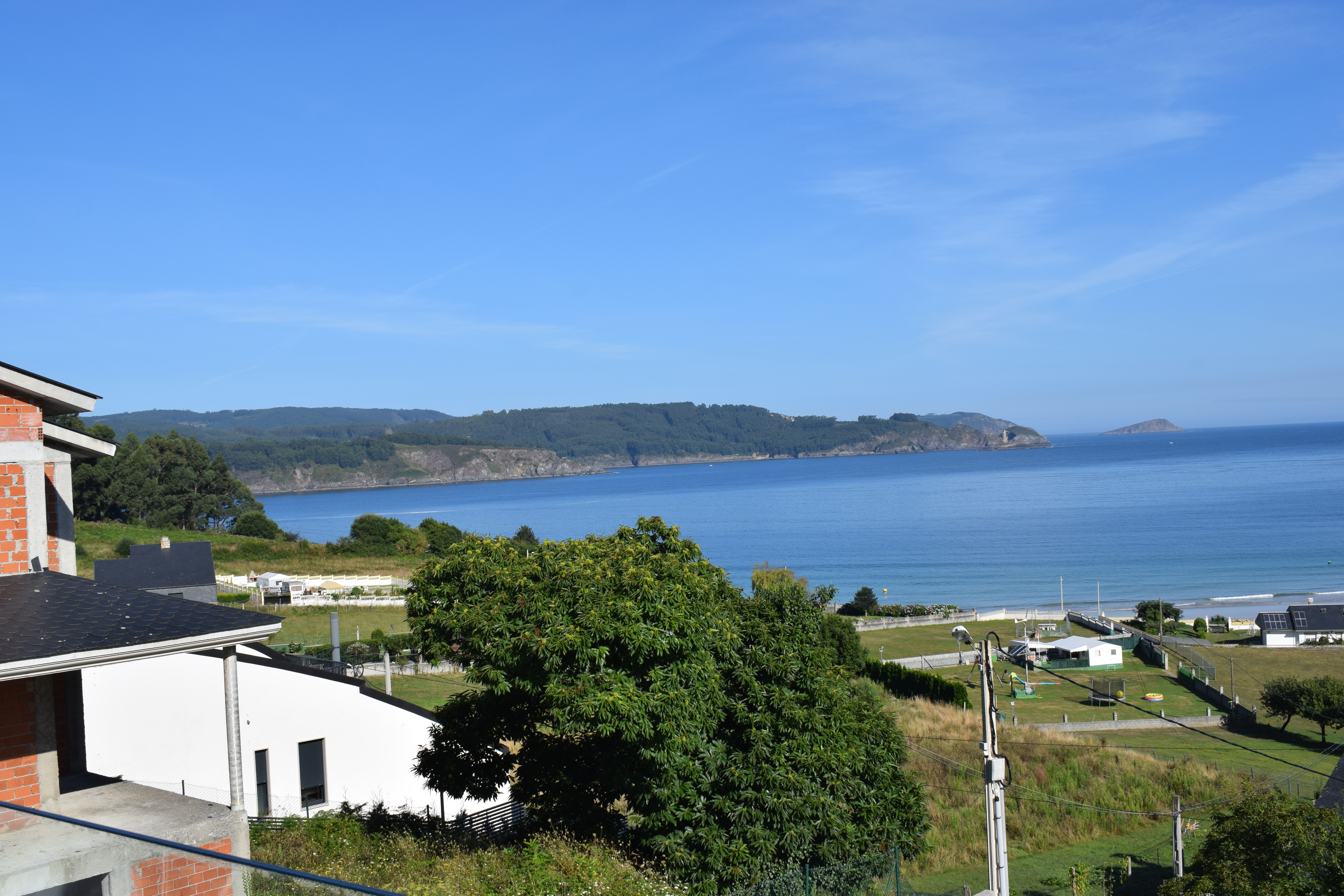
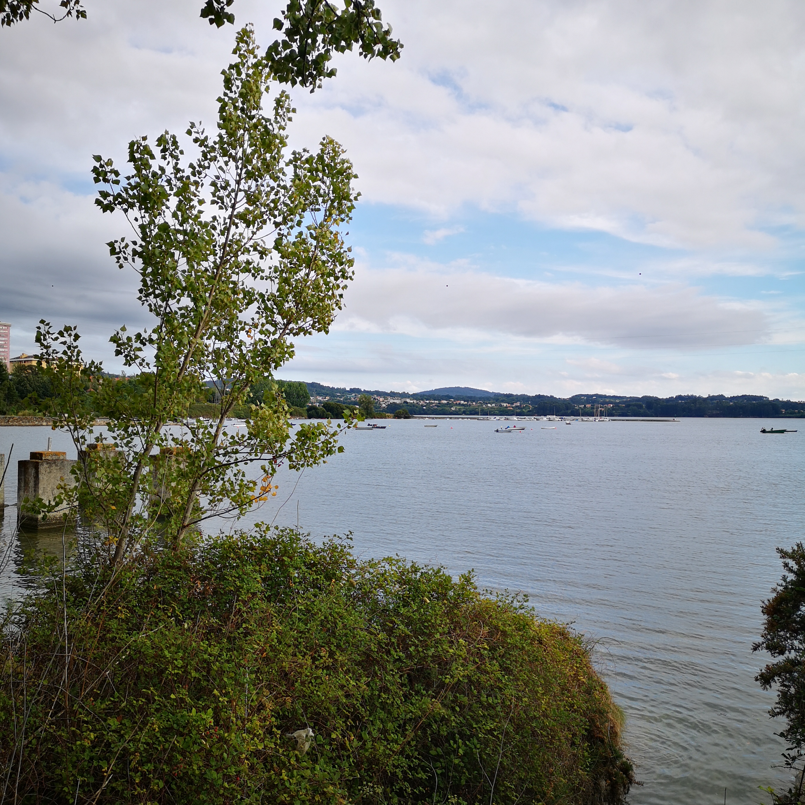
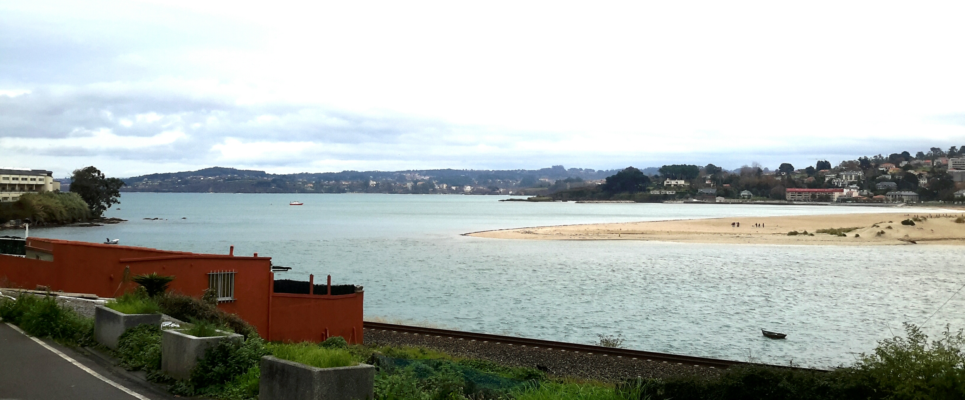
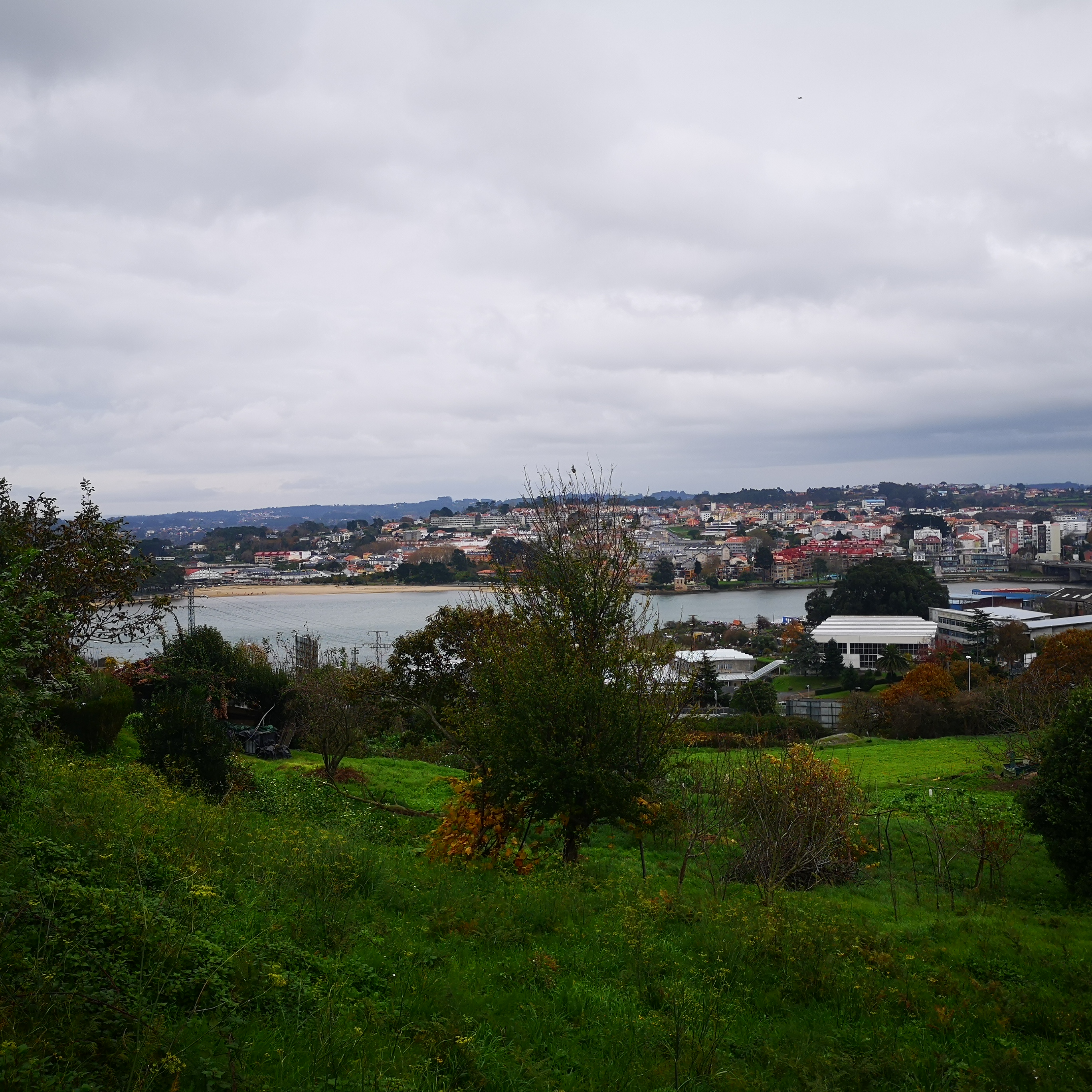
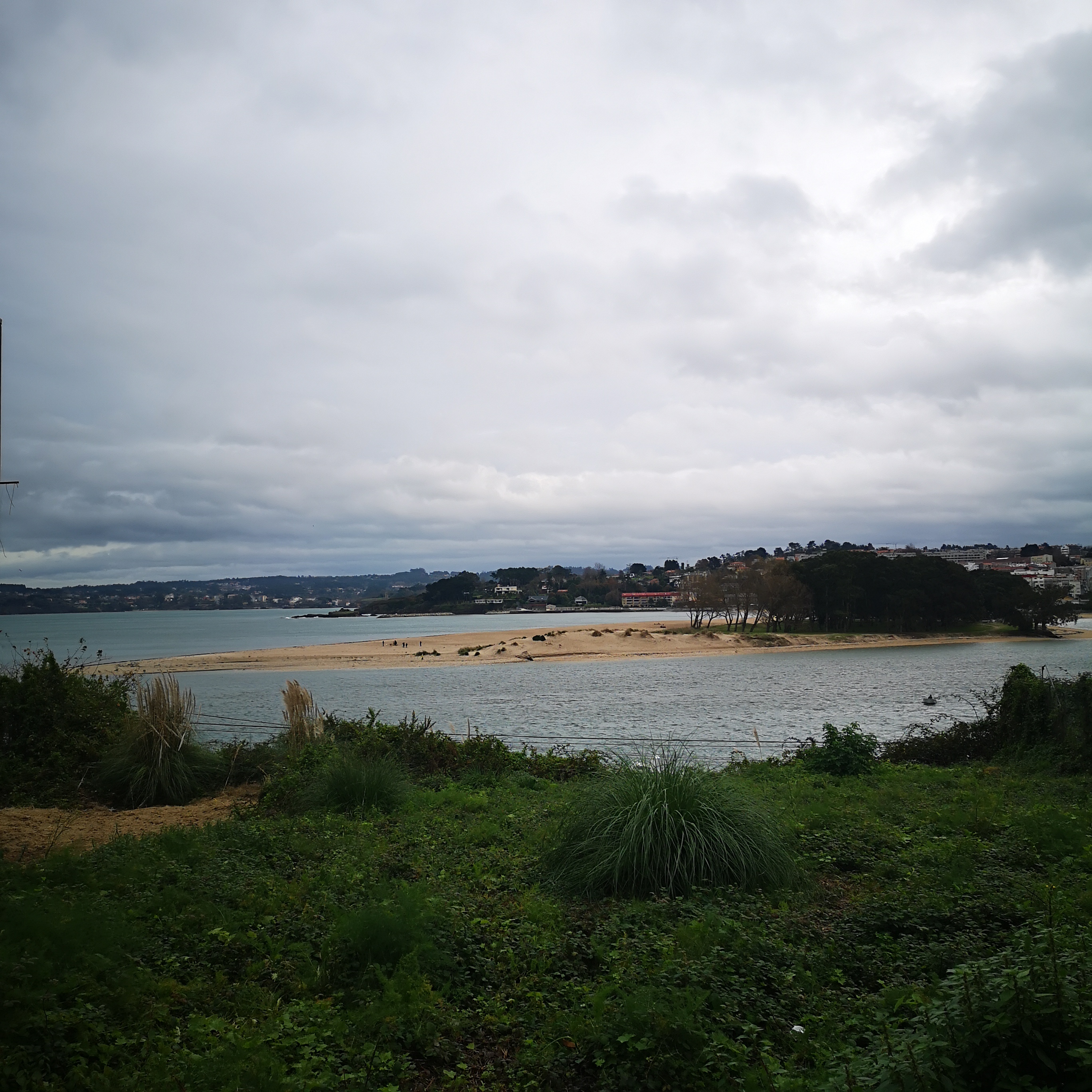
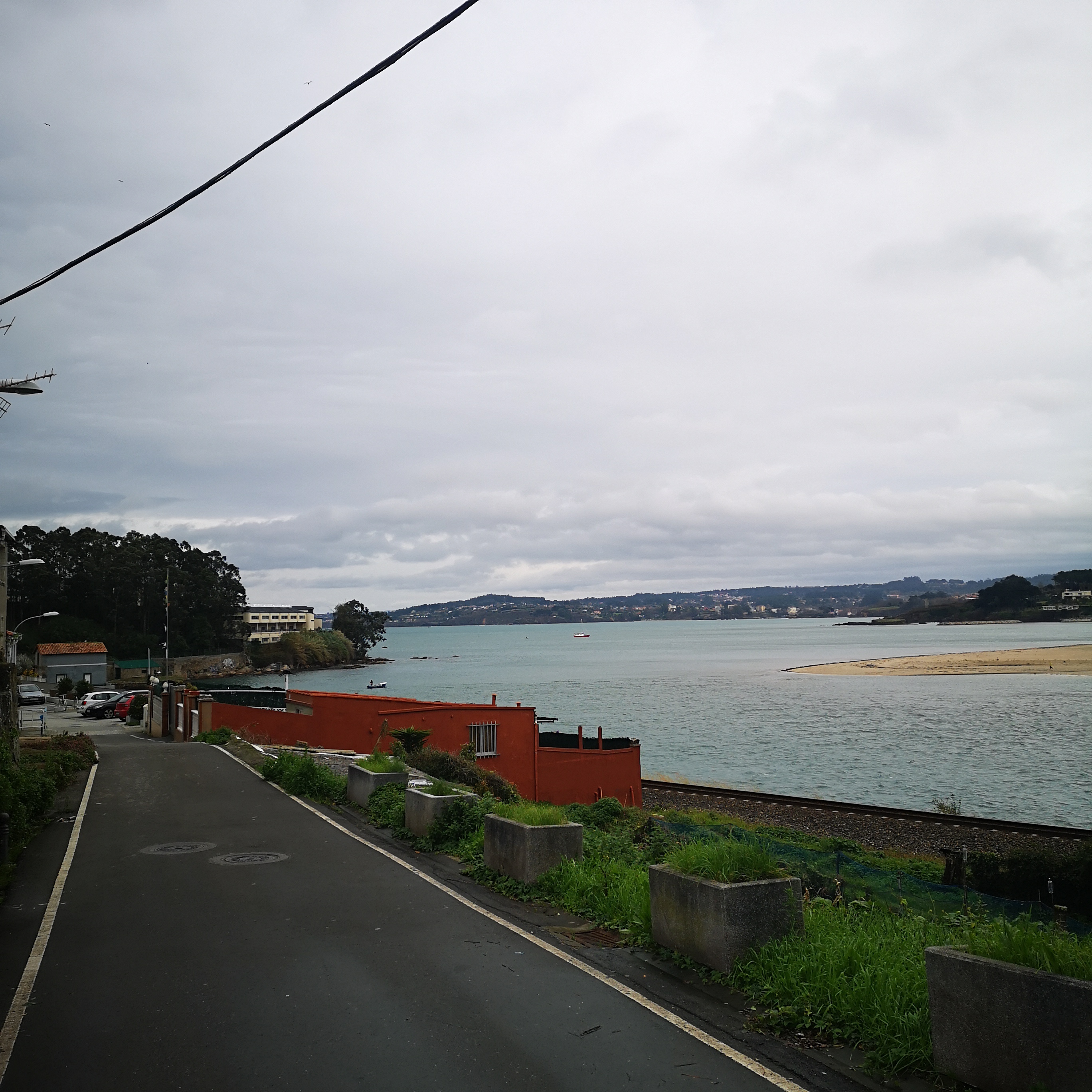
Ría de A Coruña
The Gulf of La Coruña or Brigantino, whose classic denomination of Magnus Portus Artabrorum expresses its importance and the presence on its margins of the noble nation of the Artabros, draws in its inflection between Cape Prioiriño and the tip of the Tower of Hercules the rich system of bays, estuaries and peninsular forms to which the rich land of the Mariñas flows. Otero, Pedrayo, R ,. (1980). Galicia guide. Vigo Ed: Galaxy.
A Coruña
Concello, Comarca ou Provincia
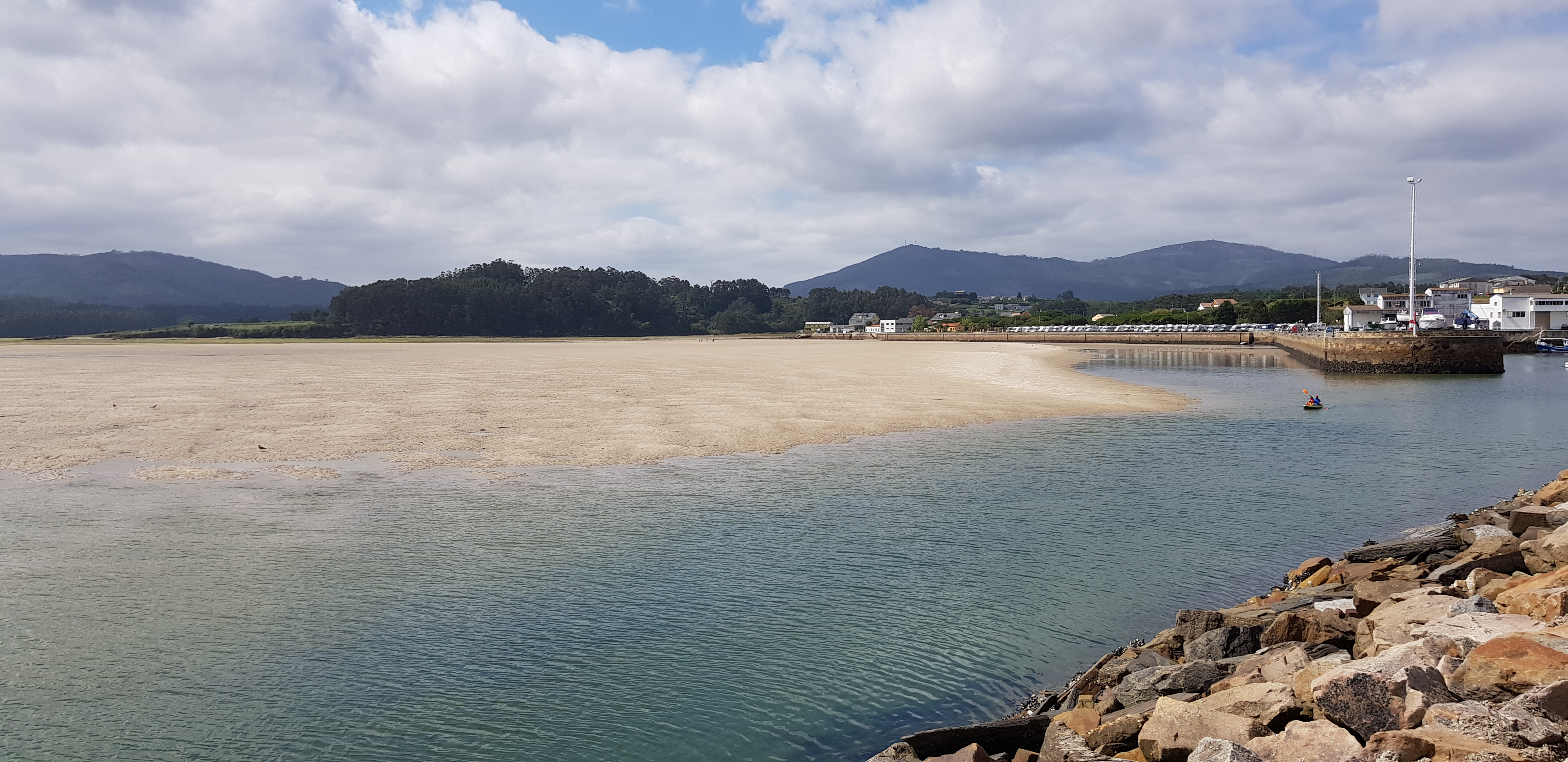
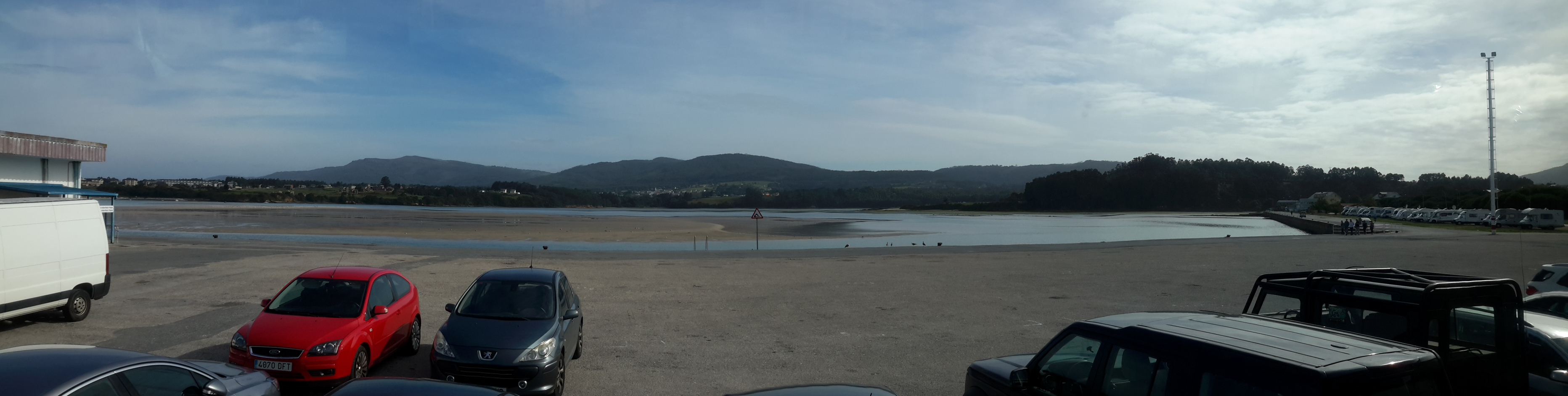
Ría de Arousa
The Ría de Arousa is a ria, a saline estuary, that forms a firth situated on Galicia, Spain.
The Arousa estuary is a true system of coastal forms (estuaries, deltas, tyrols, groups of erosion islands and witness islands) developed with diverse rhythm on both banks, set with two large tributary valleys, that of the Ulla and Umia, within the unity of its clear green water lobed ellipse, may be agitated by the tides and waves. Sálvora Island wholly beaten by the open sea, it divides the mouth of Arousa, continuing the direction started at Cape Falcoeiro and Segres de arc islets, slightly concave west of the insular front (Ons, Cíes) of the properly low estuaries. The brave islets Bionta and Peñan Novo stand behind Sálvora. In the center of the estuary, the island of Arousa offers two different aspects as a doubtful expression of marine action that determines its concave shape to the West and the slow influence of the beaches to the East, where sandy arrows point towards the coast of Vilanova and Cambados. The southern Quilme point of the tormented West profile of the island seems to continue on the Isoso, Pedregoso and Rúa islets. In small, the island of Arousa offers the synthesis of the forces and geographical facts of the coast of the estuaries.
Otero, Pedrayo, R,. ( 198o) Guía de Galicia. Vigo. Ed:Galaxia.
Illa de Arousa
Concello, Comarca ou Provincia
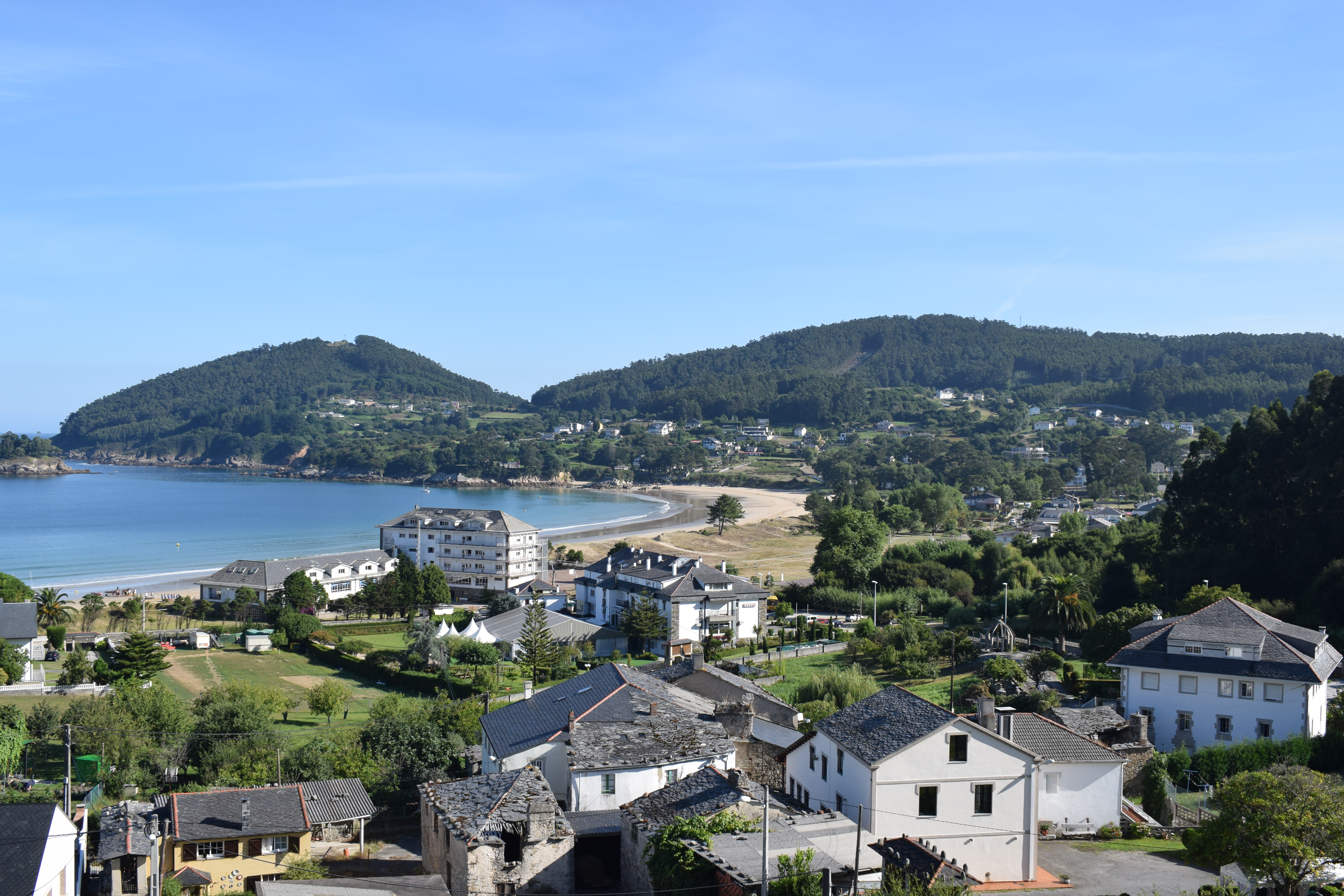
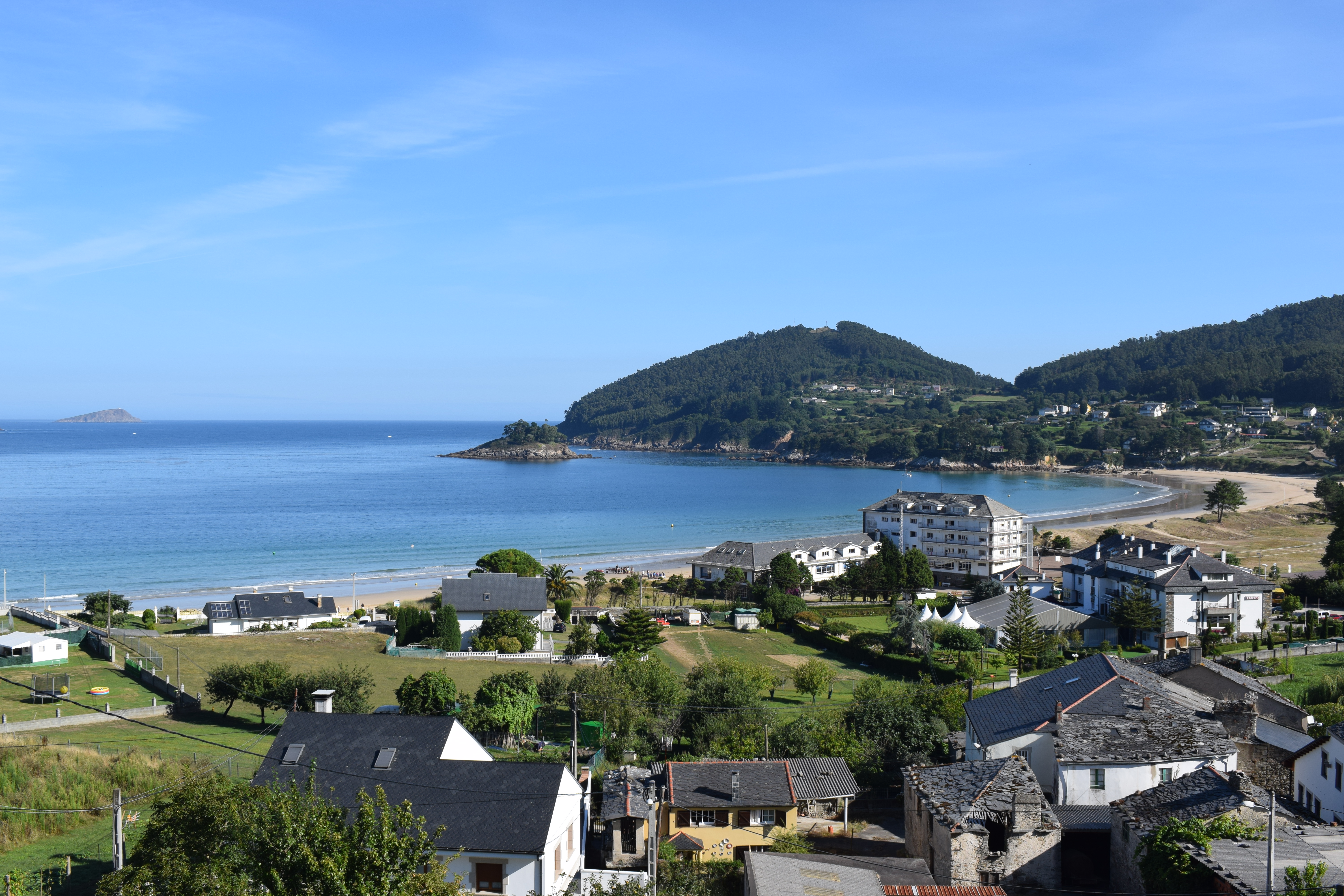
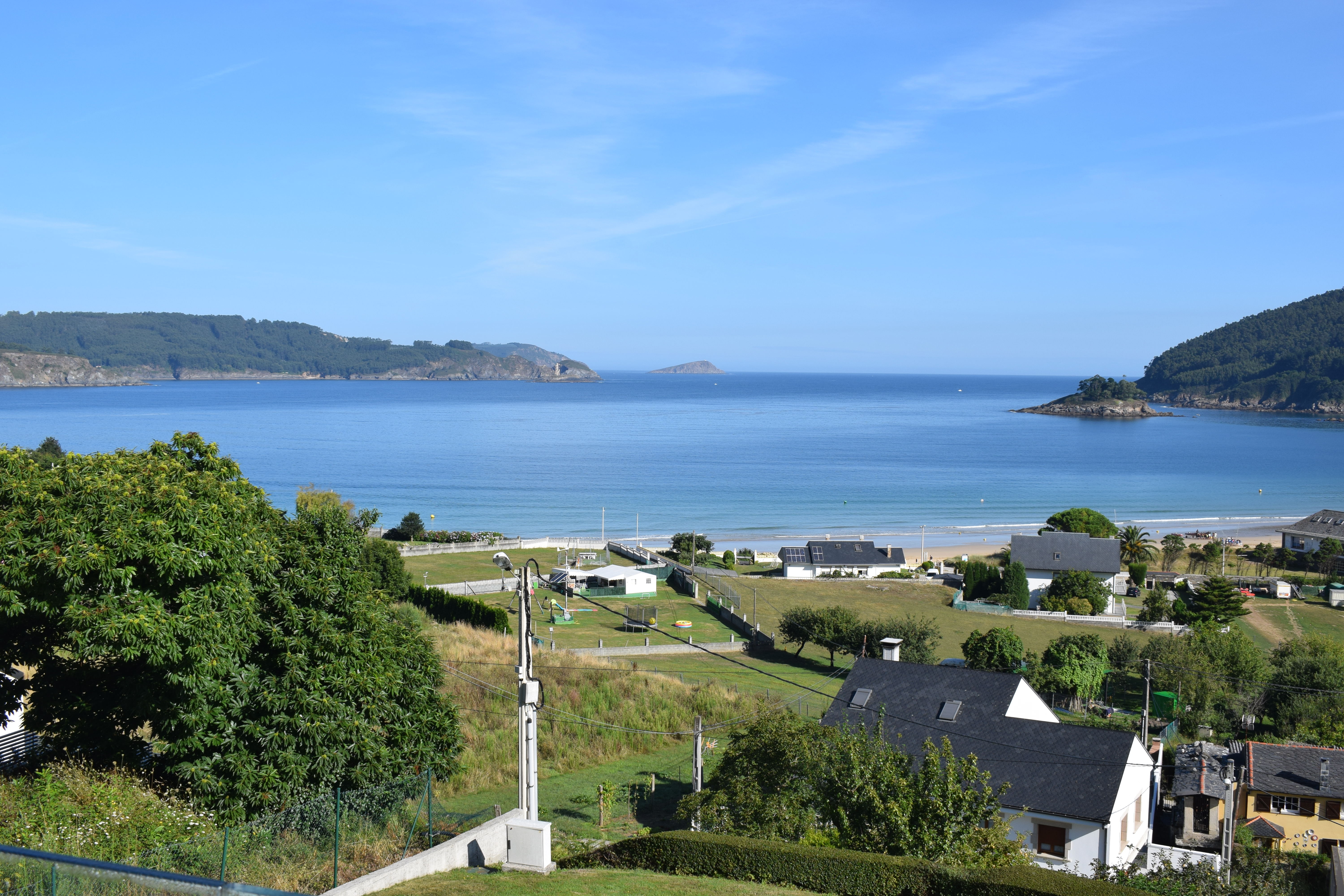
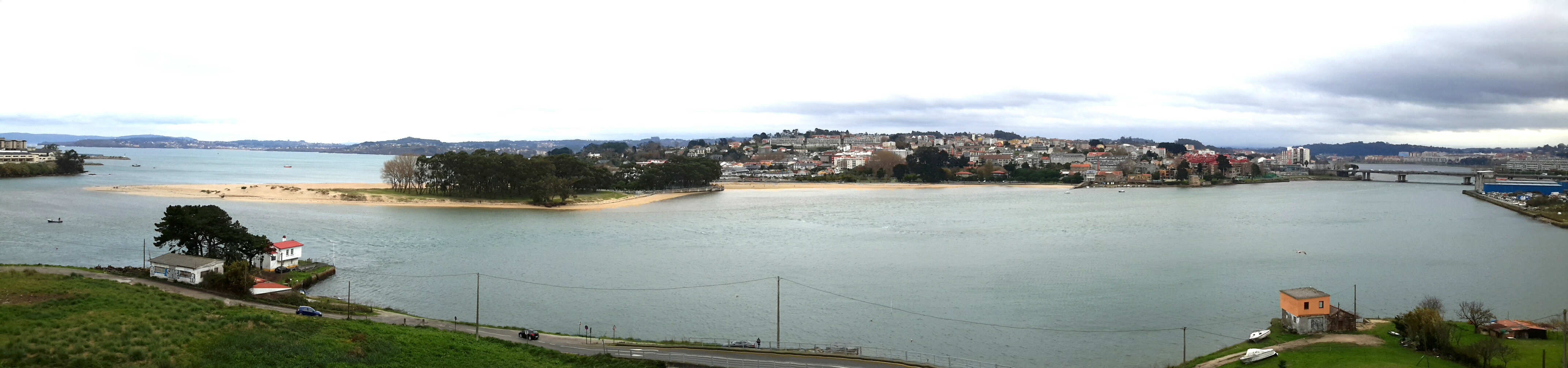
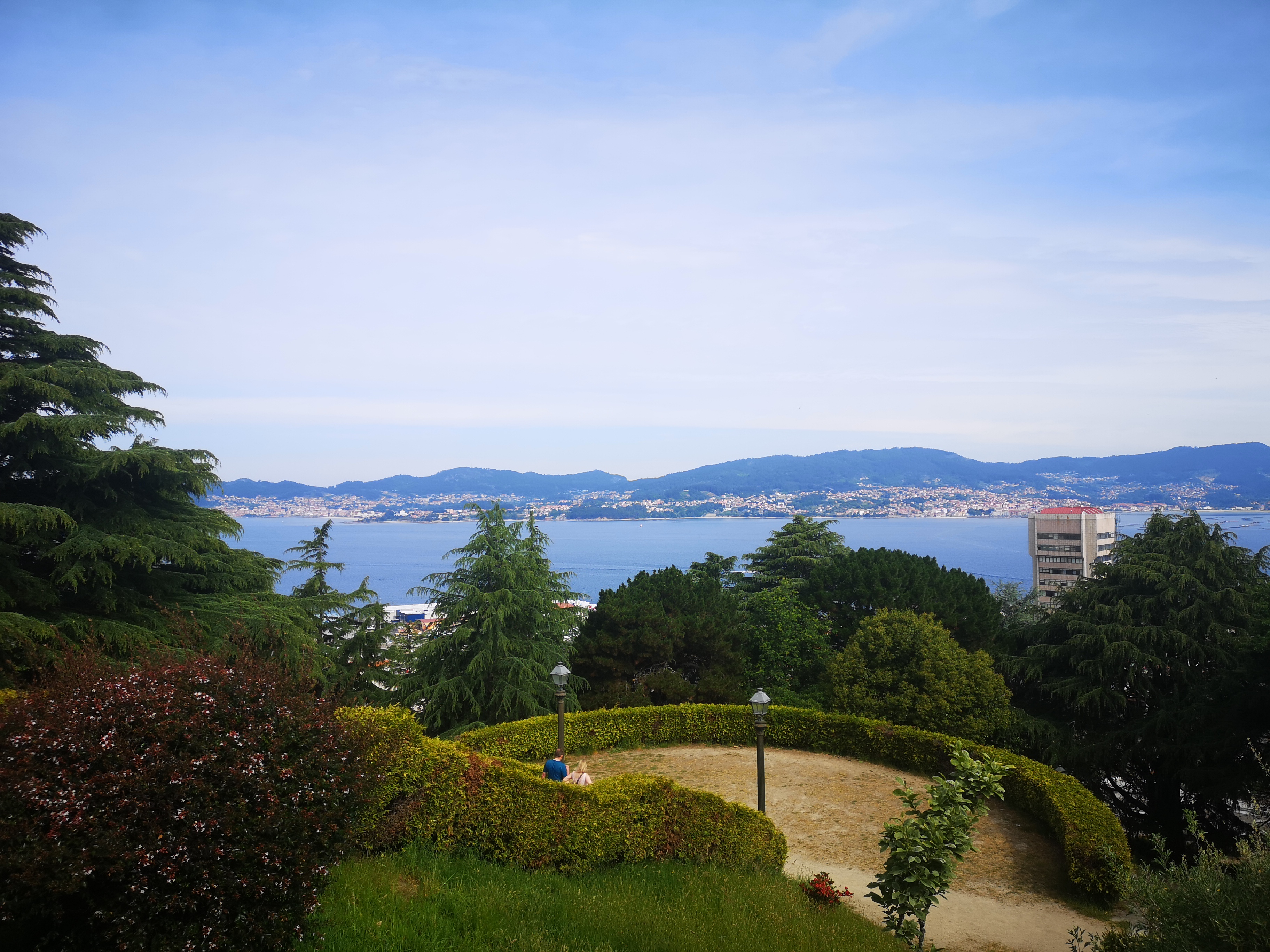
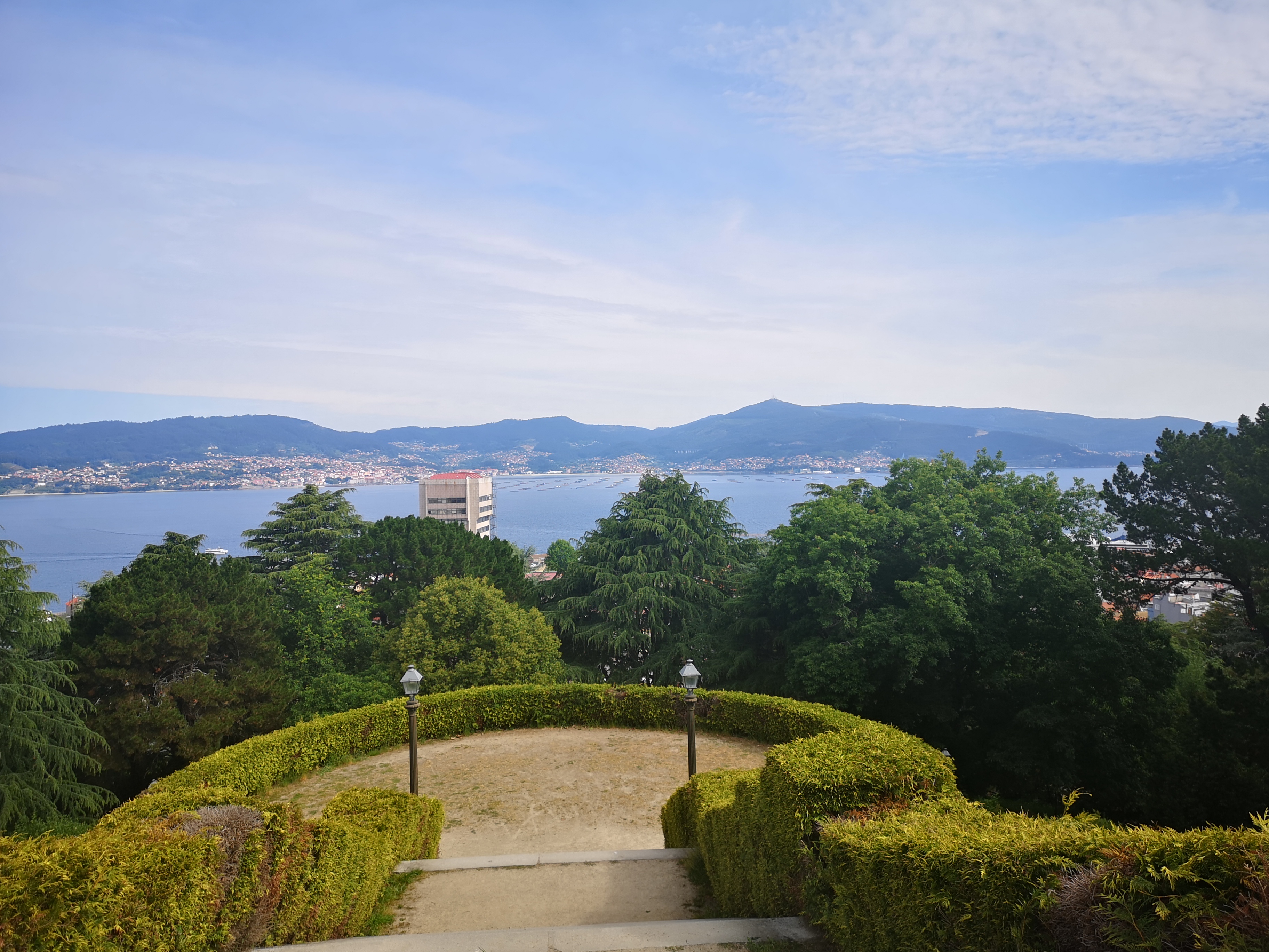
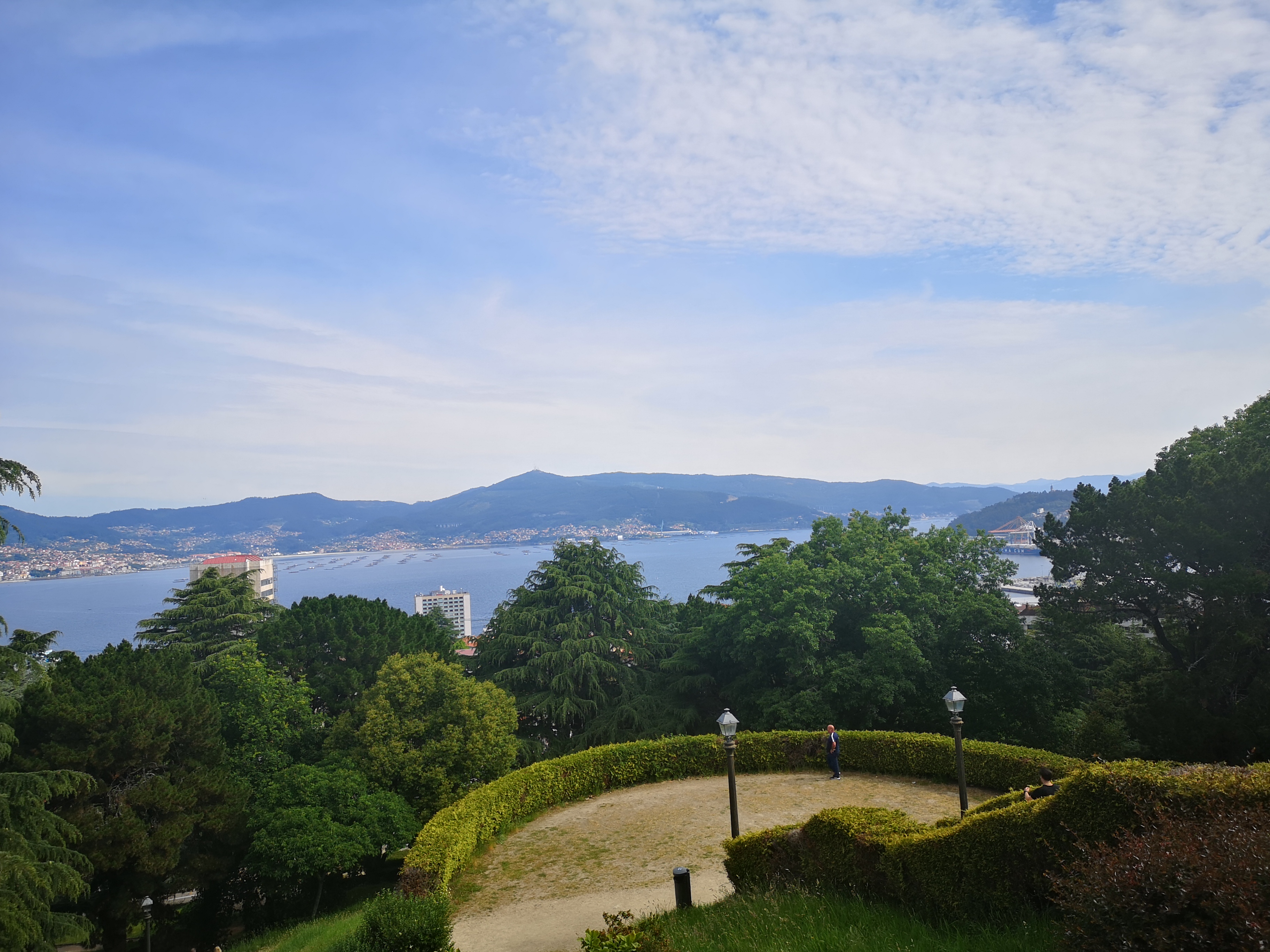
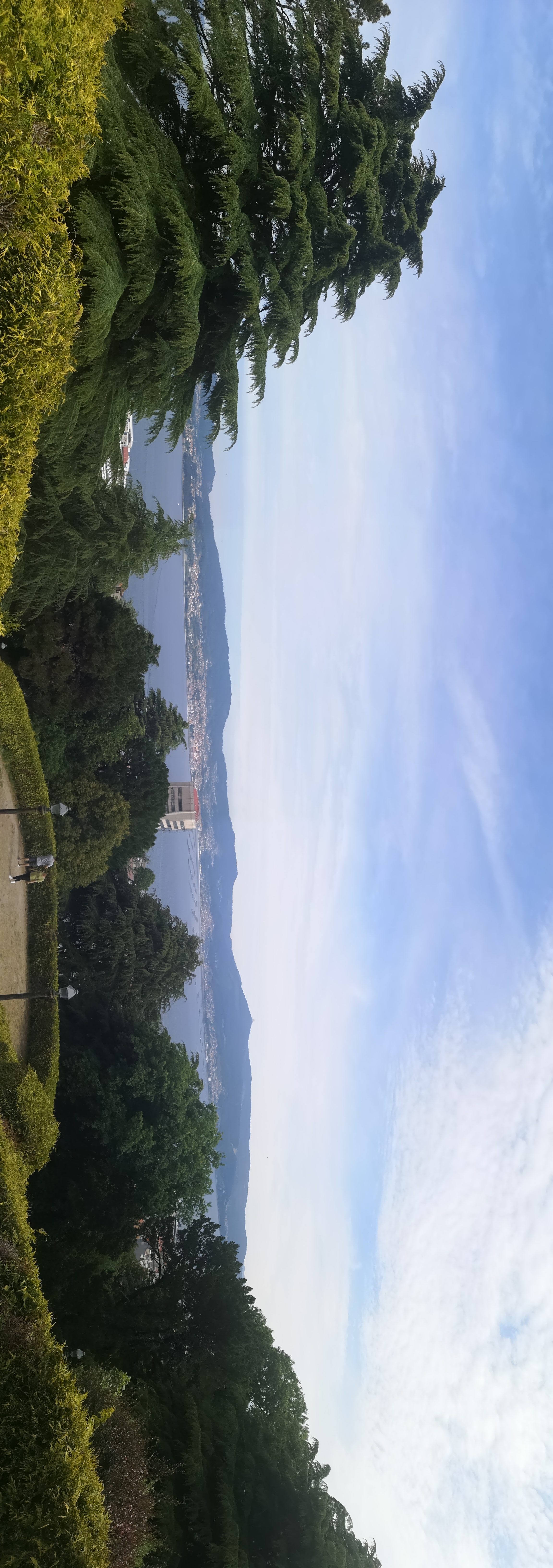
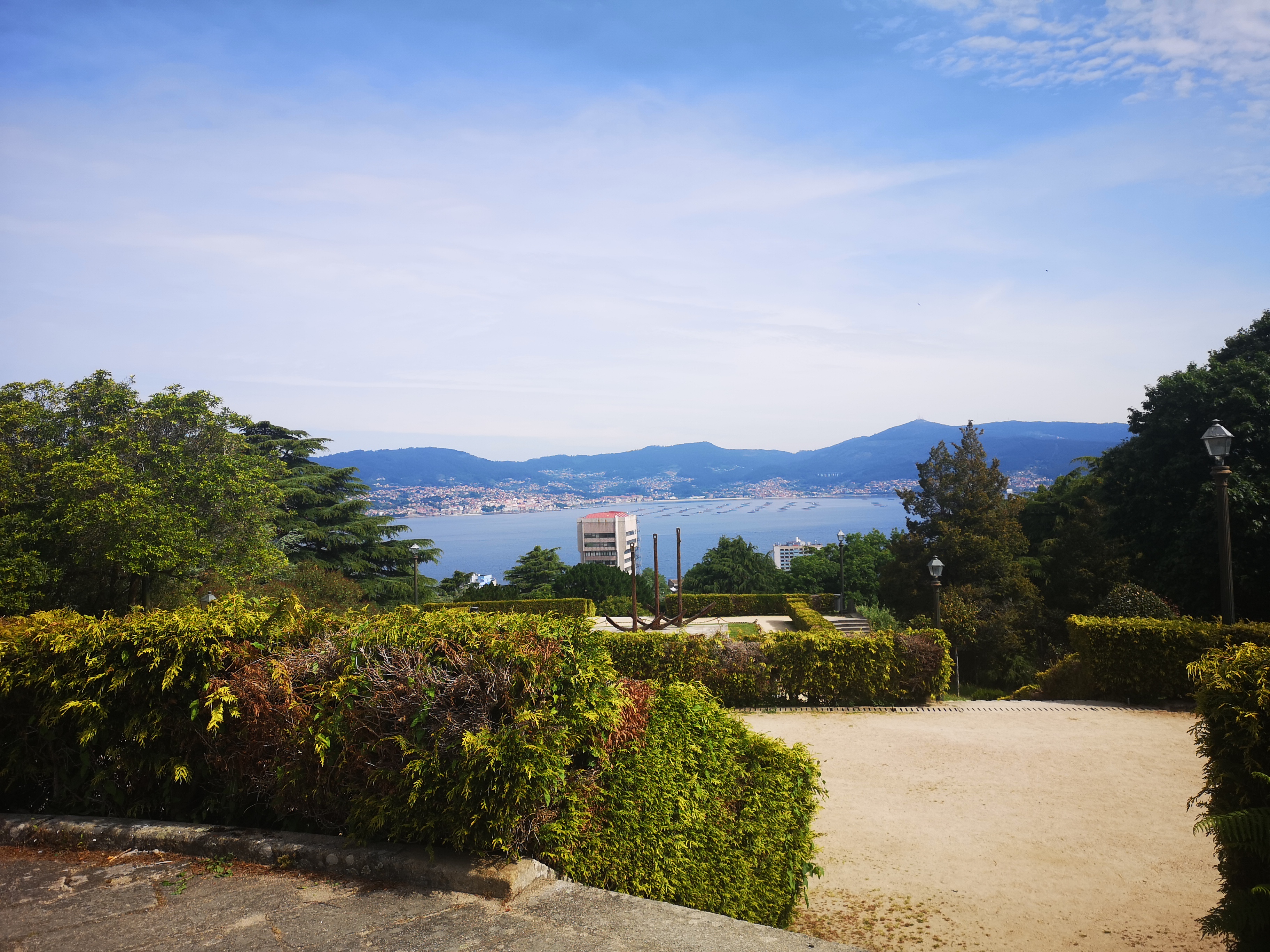
Vigo Ria
Vigo Ria is an estuary in Galicia, Spain. It is the southern most ria of the Rías Baixas.
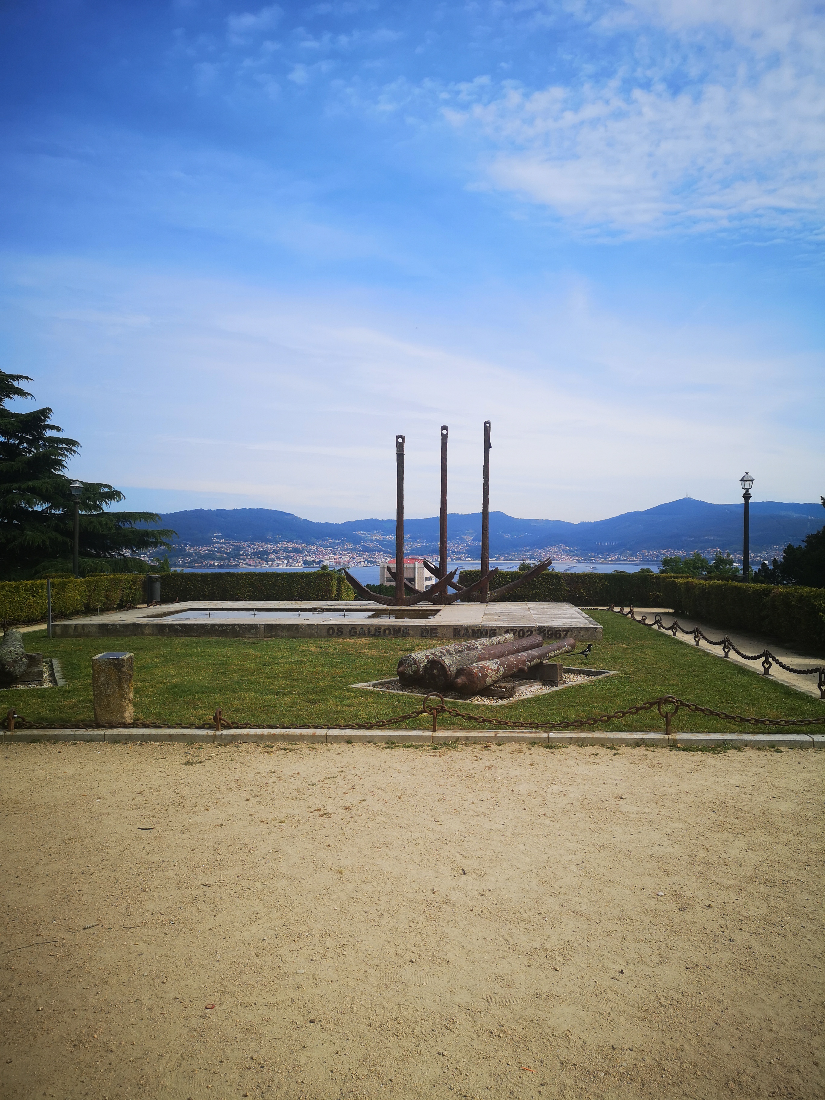
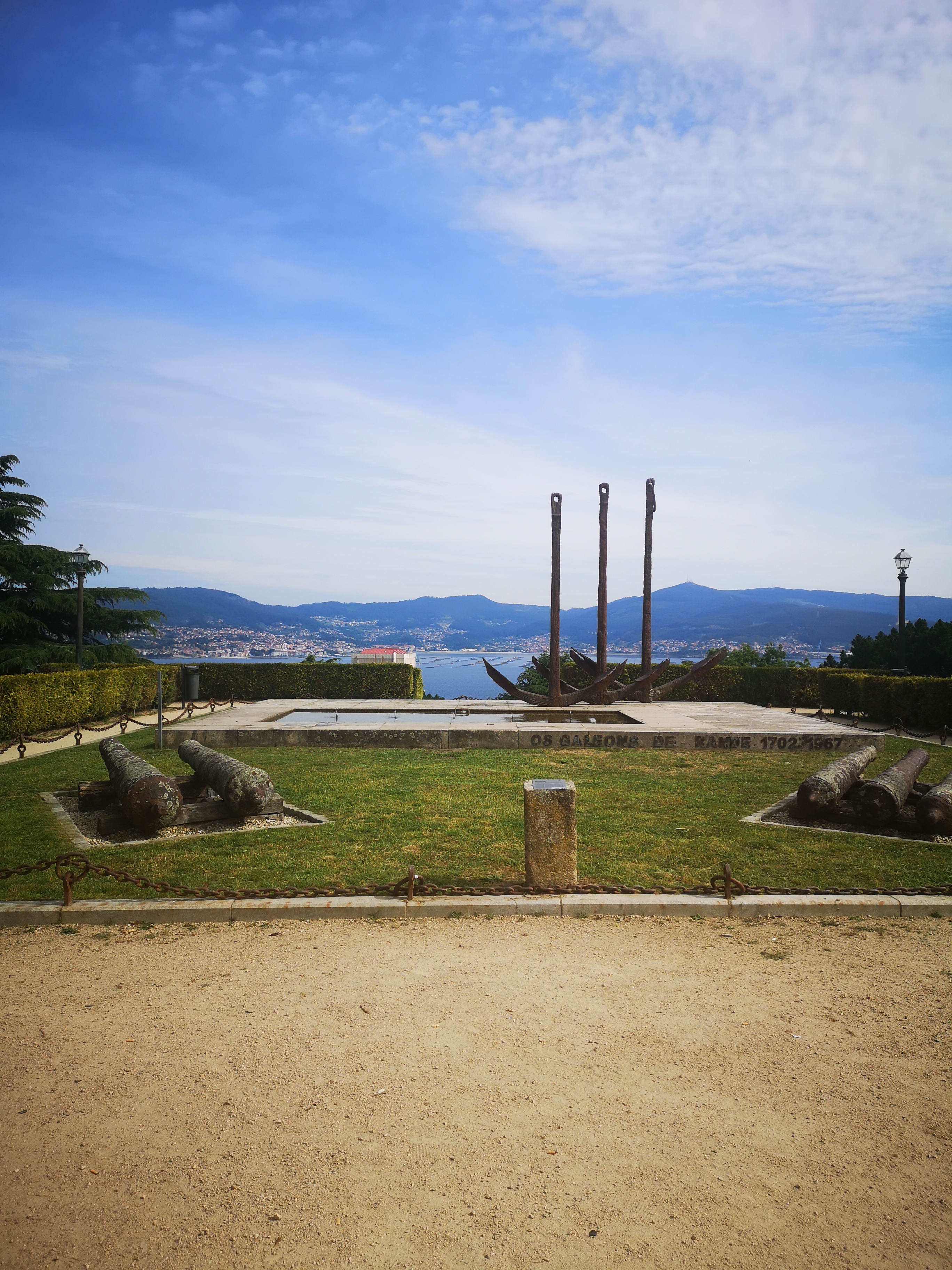
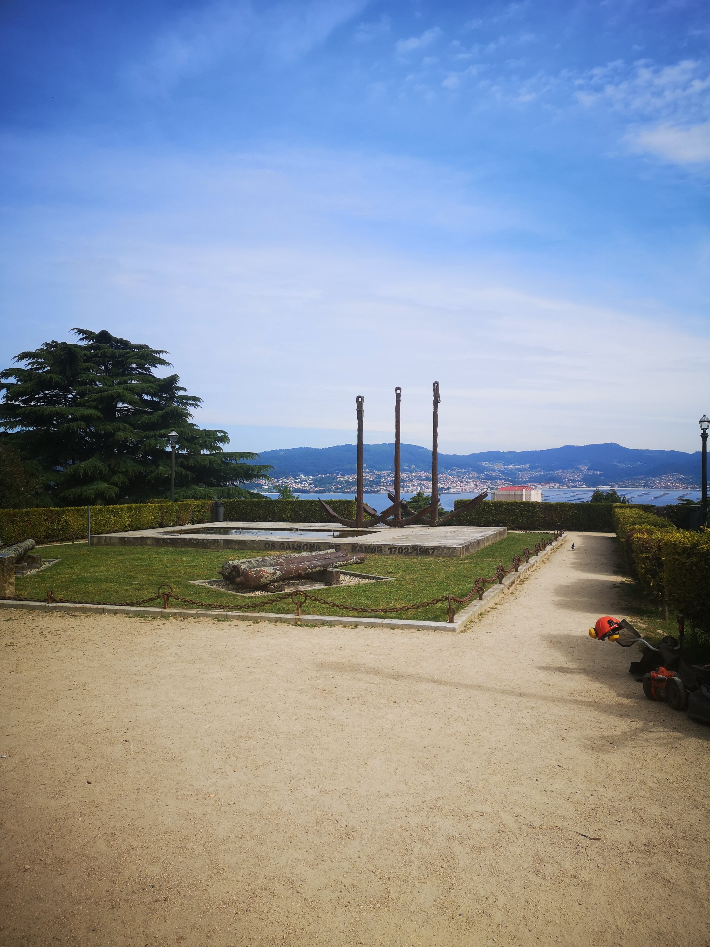
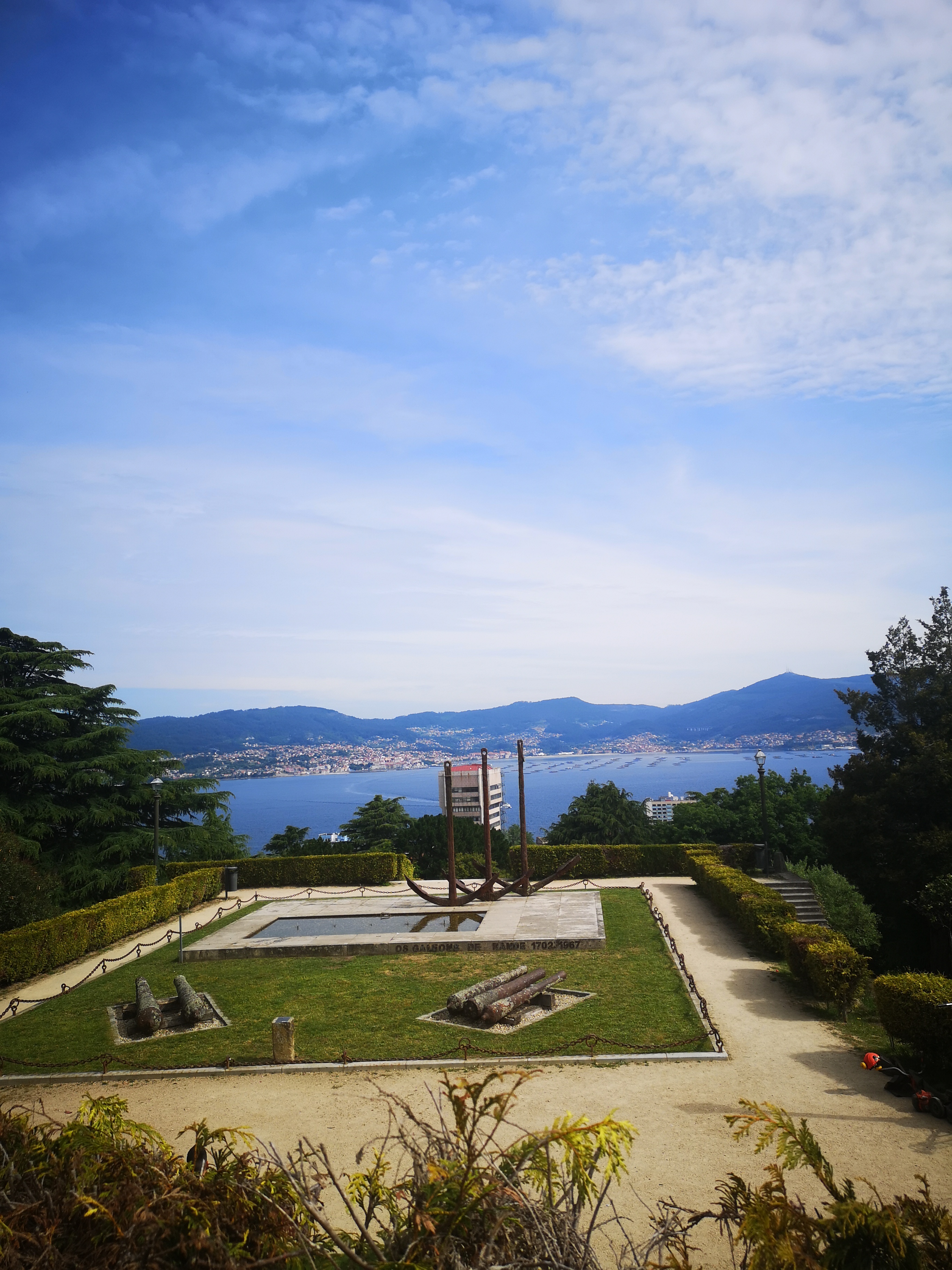
The Vigo estuary links its two diversely oriented ovals, joined by the narrowing of Rande. The bay of Vigo itself opens to the ocean between the points of the Subrido and Estaya, defended from the Atlantic impetus by the two Cíes Islands, of former geographical name, high shining and jagged rocks, which in the distance from the interior pretend alpine perliles and from Bayonne or the sea they seem to record in their plastic the shape of the waves, and contrast with the classically Galician silhouettes of the summits that surround the Rias. The two Cíes (Faro, the one of the North; San Martin, the one of the Sar) have acute and good anchorages (beach of the Lake, point of Bicos), towards the interior, determine two good entrances, better the one of the Sar, to the estuary. They seem to continue the direction of Mount Ferro. Other opinions consider them as ruins of lands other than Galician, such as the Berlingas of the Portuguese coast.
Otero, Pedrayo, R,. ( 198o) Guía de Galicia. Vigo. Ed:Galaxia.
Galería de imaxes da ría de Vigo
Vigo
Monument to the galleons of Rande
More photos in the posts
Concello, Comarca ou Provincia